


Google Maps Street View takes high-tech hike at Connecticut College
Connecticut College was ready for its close-up when Google brought its iconic Street View technology to campus on July 2.
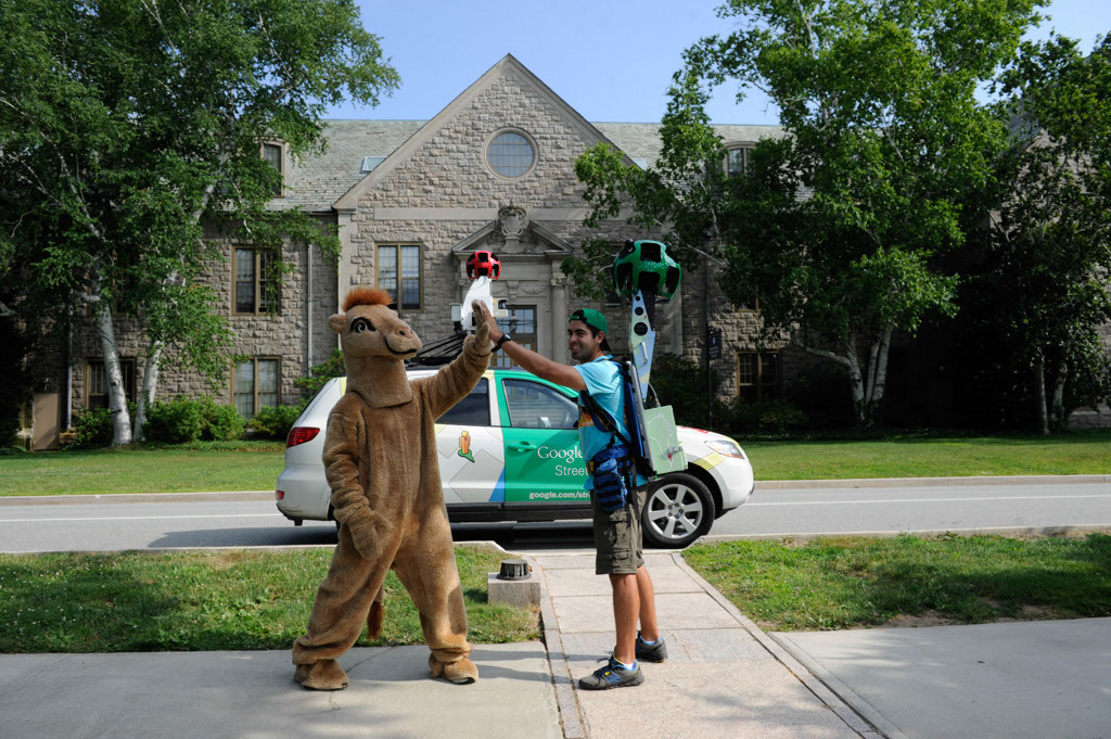
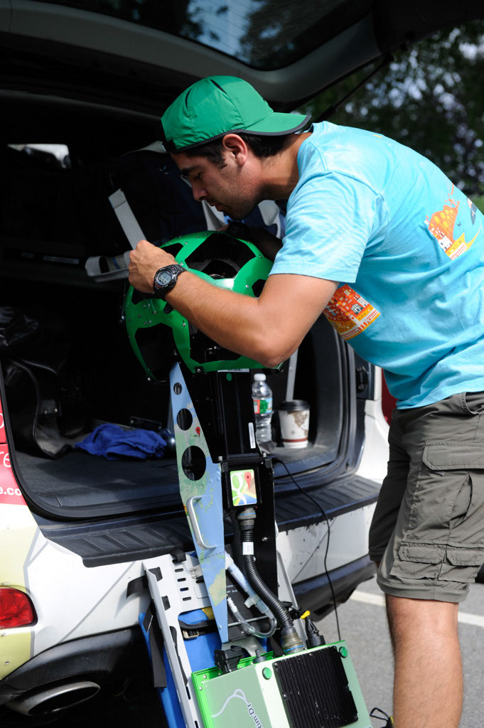
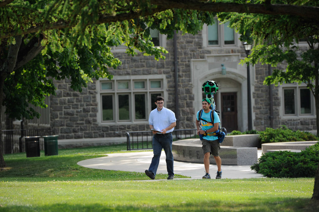
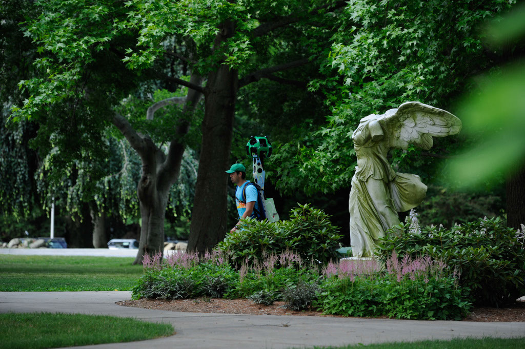
Street View operator Alberto Elias walked the campus shooting images with a Google Trekker, a 50-pound backpack-mounted device built specially for Google Maps Street View. The large green orb extending from Elias’s backpack contained several small cameras capturing 360 degrees images.
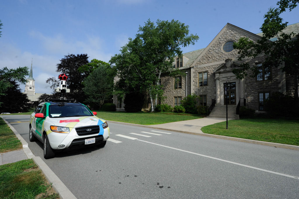
Elias arrived on campus in a Google Maps Street View car and met briefly with the Connecticut College Camel before embarking on a high-tech hike through campus. The images Elias captured will be stitched together and available on Google Maps, allowing visitors throughout the world to virtually walk the Arboretum and campus trails. Cameras mounted on the Street View car also captured images of campus roadways. The Google Maps Street View tour of Connecticut College should be online in the coming months.
Trekkers are the next step for Google as the company expands its Street View imagery around the world. Since introducing the car, Google has used trikes, snowmobiles and trolleys to enhance its maps.
July 22, 2014